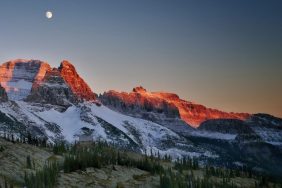
 Created by an Act of Congress in 1964, the Ozark National Scenic Riverways National Park is located in southern Missouri. The act was passed in order to protect the Current and the Jacks Fork Rivers. Canoeing is the preferred activity of park visitors, however, the hikes are plentiful as well as camping, fishing, and hunting. The following will give you an idea of the better hikes to do while visiting this park.
Interpretive trails
Pulltite Trail – Located near the Pulltite Campground’s group camping section. This is a 0.5-mile loop trail that features exhibits of the local ecosystem.
Slough Trail – Wheelchair accessible and 0.5 miles long, the Slough Trail and features exhibits along the trail that depict the history of the Big Spring area of the park.
Virgin Pines Interpretive Trail – A half-mile walk through towering Virgin Pines which you will find off Route 19 2 miles south of Round Spring.
Short trails
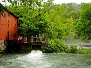
Alley Overlook Trail – 1.5 miles long and steep in spots, the trail starts right outside of the Alley Mill’s front door. The overlook provides you with some nice views of Alley Spring.
Lick Log Trail – Located 2 miles north of Eminence (Route 19) on Fox Pen Road this is a nice loop trail and is regularly maintained by the Conservation Department of Missouri.
Stone Ridge Trail (formerly Big Spring Overlook Trail) – Another 1-miler, this trail intersects the Slough Trail and forms a nice loop around Big Spring. Despite how short the trail is, it is very steep and strenuous throughout.
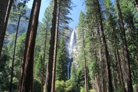
Blue Spring Trail – This half-mile hike starts at the Powder Mill Campground and ends at the picturesque Blue Spring. You’ll find the trail about 14 miles to the east of Eminence off Route 106.
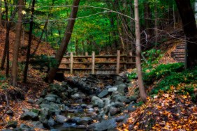
Chubb Hollow Trail – It starts right behind Big Spring Lodge and hugs the bluff that rises above the Current River. The hike is a 1-mile roundtrip that provides the hiker with some beautiful views of the river.
Longer trails
Cave Spring Trail – One of the longest trails in ONSR National Park, it begins at Devils Well and ends at Cave Spring along the Current River.
Big Spring Trails – A system of different trails that branch off of Z Highway. Currently, these trails are in the process of being marked so a map of the area is necessary if you are going to do any of these hikes.
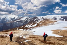
Ozark Trail – When this trail is finally completed it will be over 500 miles in length and will run from St. Louis to this area of Arkansas. The portions that are currently finished can be found about 14 miles east of the town of Eminence where it crosses Route 106. It also crosses US Highway 60 4 miles to the west of Van Buren.