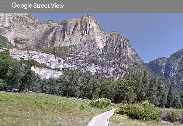

In its ongoing quest to map the entire planet from ground level, Google Maps has partnered with Yosemite National Park to bring “Google Street View” to more hiking trails.
Earlier this year, Google pioneered the street level virtual viewer on extreme adventures such as rock climbing El Capitan. Now, the digital giant has mapped some of the famed parks most popular attractions. Experience a hike up to the viewing platform below Bridelveil Falls, the Mariposa Grove of Giant Sequoias and Mirror Lake, among more than a dozen others, all from the comfort of your computer.
The endeavor is not intended to replace actual wilderness travel, but as a means to preview and inspire future trips, explained Deanna Yick, a Google Street View program manager in a press release. “We hope nature-lovers around the world will enjoy previewing the beauty of Yosemite before their next trip in person.”
The project comes this year as the National Park Service celebrates its centennial 100 year anniversary, while Yosemite prepares for its 125th birthday.
To view Google Street View from Yosemite, click here.