
They savored each step and moment: the smells of open countryside, the sensation of touch, the rain, the sounds of birds and nearby wildlife. Five hikers, all blind or partially sighted, crossed a mountain range in eastern France without a guide, thanks to an innovative GPS system.
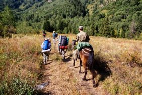
Developers of the experimental smartphone app by Navi’ Rando are from Strasbourg University and are tapping into the newest technology to help improve the lives of the visually impaired. Armed with only their white canes and the app – and unaccompanied by a guide – the group of five trekked 50 miles in six days, hiking the fields and forests of the Vosges mountain range near the German border.
Each hiker wore their device in a small pouch on their chest. The devices were programmed by volunteers from the French Hiking Federation with a very precise itinerary that took careful note of any obstacles along the trail. Despite the dangers in the woods from wild animals and obstacles, participants say it’s actually much more dangerous in an urban environment. They also had some safety spotters in case of anything unexpected.
Named for “randonner” – the French word for hiking – the device uses an electronic voice to warn of bends in the path and upcoming turning points. For example: “Point 15, 11 o’clock, 194 meters” informed the hikers that in just under 200 meters they should turn left in the direction of eleven o’clock.
Blind since birth, 63-year-old former teacher Jean Claude Heim is a regular hiker in the Vosges, but this was his first trail without a sighted partner to guide him. As the men moved along the trails sweeping the path with their white canes they adjusted to the new surroundings. “You really have to concentrate,” Heim told the Agence France-Presse.
“It’s fantastic to rediscover your sense of freedom,” 30-year-old Nicolas Linder told the news service.
For Navi’ Rando’s developers, the mountain crossing was a major test. The Strasbourg development team are certainly not the first researchers to recognize the potential of GPS systems to aid the blind, but partnering with their university’s sports science department brought some fresh ideas to their research.
Their system is the first to use inertial measurement units (IMU) to refine the GPS signal and regularly recalculate the itinerary. The IMU is an electronic device with gyroscope, barometer, and accelerometer functions to aid navigation. It’s often used to help guide aircraft, including unmanned planes.
With the mountain crossing a success, the next step is to test the system further and make it work everywhere, even in places where it cannot pick up a GPS signal. It’s already proven to work in the streets. Partially sighted, Clement Gass uses it on his daily walk to and from work. And on June 13, this sporty 27-year-old used his Navi’ Rando for another first: running a 16 mile trail as he participated in a race alongside 200 other participants.
Developers believe the technical challenges have been met and their ultimate goal is a human one, as they hope to equip greater numbers of blind people in France and other countries with Navi’ Rando, allowing them to enjoy more outdoor activities and more individual autonomy at both work and play.
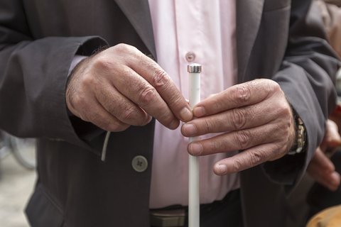
© Ververidis | Dreamstime.com – Man\’s Hands Holding A Stick Photo