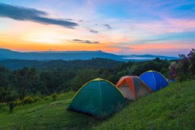
If you’re looking for a way to beat the heat for a day and experience one of the most breathtaking views in Northern California, there’s a towering gem about an hour north of Lake Tahoe at the Sierra Buttes Lookout Trail.
It’s a moderate hike (about 5 miles) but the last 200 steps aren’t for the faint of heart. Located near the quaint town of Sierra City in the Gold Country of California, the craggy peaks of the Sierra Buttes can be seen for miles.
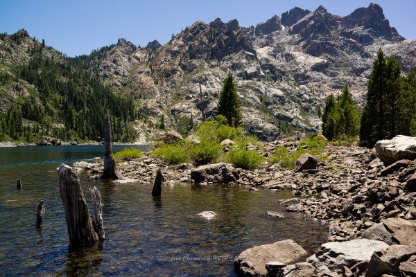
Overlooking the Yuba River Canyon, the Lakes Basin Recreation Area and with a clear view of Mt Lassen, the precariously perched fire lookout at the top has stunning 360 degree views.
RELATED: 6 Most Beautiful Hiking Spots in North America
Once you hit the trailhead, you’ll start climbing. It’s a fairly gradual climb and along the way you’ll meander through a beautiful forest. Early in the season, the wildflowers are amazing. Higher up, you’ll have views of at least three lakes (there’s a dozen more nearby). The last quarter mile or so is the steepest and you’ll feel the altitude.
Once you get to the top, you’re greeted by a staircase which leads up to the lookout. If you’re brave enough to climb the steps, you’ll feel like you’re hanging in mid-air (you are!). The little tower is perched on a rock outcropping at the top of the world. Walk around and you can look down hundreds of feet through the steel grating and as far in the distance as you can imagine. It’s just as good as any theme park ride.
Get there early because it gets crowded later in the day. It’s an “Out and Back” hike and dogs are allowed on the trail. Make sure and take enough water for everyone. The Elevation at the top is a little over 8,500 feet so folks with health conditions should be prepared. Otherwise, it’s a pretty easy hike for the whole family, even Gramps.
RELATED: Hiking Loch Leven Lakes Near Tahoe
There are a few ways to get to the area, all of which are beautiful and scenic drives. My favorite ride is along HWY 49 which winds along the Yuba River. You can stop along the way and take a cool dip and there are a few quaint little towns to grab a bite. If you’re coming through Truckee on Interstate 80, you turn north on HWY 89 towards Sierraville. This route is equally beautiful.
Once you hit Bassetts Station (the entrance to Lakes Basin Recreational Area), follow the sign to Packard Lake. From there you’ll hit the trailhead. Everything is clearly marked. There are a couple other routes but this is the easiest one to find and hike. Make sure you bring your camera, this hike is on my top 10 list for sure.
For more info on the trail click here.
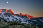
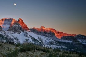
Photo credit: Wikimedia