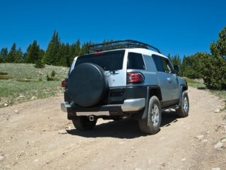
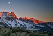
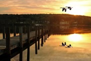
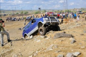
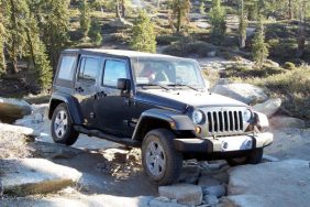
 When I lived in the foothills and was having a bad day, got bored or needed to get out of cell service for awhile on a summer day, I’d fill up my truck with fuel, fill up a big cup with iced tea and take off on this drive. That’s the great thing about non-urban areas…Although it seems like Interstates and highways are all that connect us, in reality there are winding back roads that traverse the countryside, seldom traveled by those unwilling to look outside the routes generated by MapQuest.
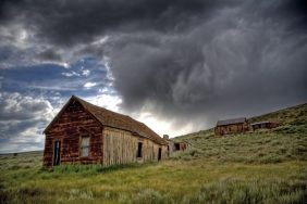
This particular drive will put your four wheel drive to work, in a leisurely kind of way, and wind you through some of the most beautiful back country that Northern California has to offer. Leaving from the foothills gold rush town of Nevada City, Highway 49 twists its way through the South Yuba River canyon towards the eclectic hamlet of North San Juan, where you’ll hang a right onto North Bloomfield Road. This paved County road stretches for approximately 10 miles before turning to dirt just outside of North Bloomfield State Park, where you might stop off for a history lesson of mining days gone by.
The next point of interest along the bumpy, gravel stretch of North Bloomfield road comes up a number of miles later as the tiny (and I mean tiny) town of Graniteville comes into view. Graniteville is a remnant of days gone by. A few (as in, oh, 6 or so) hearty souls live in the town that is far removed off the power grid and pounded by snow in the winter. The remainder of the town is made up of buildings that are utilized only as summer camping cabins. By my calculations there are, in fact, more bears in the vicinity than people.
After leaving Graniteville, North Bloomfield road converges with a number of U.S. Forest Service roads marked with the Service’s ubiquitous brown signs. Watch for the arrows directing your trek to Bowman Lake. And settle in. The next 10 plus miles are paved in dust and large rocks that have been exposed over a winter of nasty weather. The road is typically so bumpy, in fact, that you may require a quick stop to find a bush, if you know what I mean…
A Bowman Lake beams through your windshield, however, the bumps are well worth the ride. This rocky lake is surrounded by towering pines and granite rock formations that are a sight to behold. At an elevation of 5,585 feet, fresh mountain air keeps the area cool and the lake a stunning blue. If you choose to get out and stretch your legs or chow down on a picnic, the hike to the dam offers a stunning view of the lake and surrounding rugged terrain.
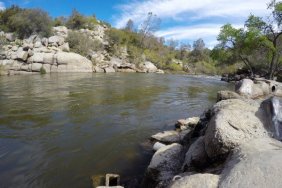
Once you’re settled back into your seatbelt, follow Bowman Lake Road, which can be plain rocky and a little unnerving due to the steep drop off on one side, for approximately 16 miles back to the main thoroughfare of Highway 20. Approximately 6 miles before reaching the highway, you’ll once again encounter paved roads and a wealth of lakes and streams to stop at if your bum needs a break from the bumps. From Highway 20 it’s an easy drive back to Nevada City where you can stop off for a new tank of fuel.
Take note that this drive is only accessible during the Summer months and has limited to no cell phone service. Be prepared with ample food, water and blankets in case of vehicle failure and stop off at the Nevada City Field Office of the U.S. Forest Service for a detailed map before leaving town!
